18 Great Children’s Geography Books for Kids
This post may contain affiliate links.
It’s so important to read good children’s geography books so that our children understand concepts such as communities and a global perspective. Read the picture books aloud with your growing readers and share the nonfiction titles with your middle grade readers.
Children will learn about maps, travel, and more with these books and atlases. The Geography Standards from the Common Core are so important to know for a citizen and growing child.
Common Core 6 Essential Elements of Geographic Knowledge
- The World in Spatial Terms
- Places and Regions
- Physical Systems
- Human Systems
- Environment and Society
- The Uses of Geography
Beneath these six elements there are 18 specific geographic standards that include using maps, characteristics of places, regions of the Earth, and more.
As a 5th grade teacher, I was so committed to making sure my kids knew geography that the first big test that they had to retake until 100% was the continents and oceans of the world. (To me, it was inexcusable NOT to know this by 5th grade.) We got that out of the way and build the foundation for lots of other history and geographic curriculum. Kids must know that their city, state, and country is not the only one in the world!
Geography Books for Kids
Geography Books, Picture Books Ages 4 to 8
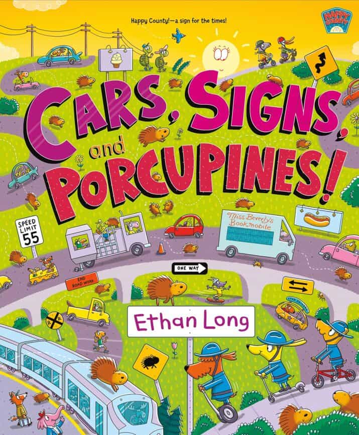
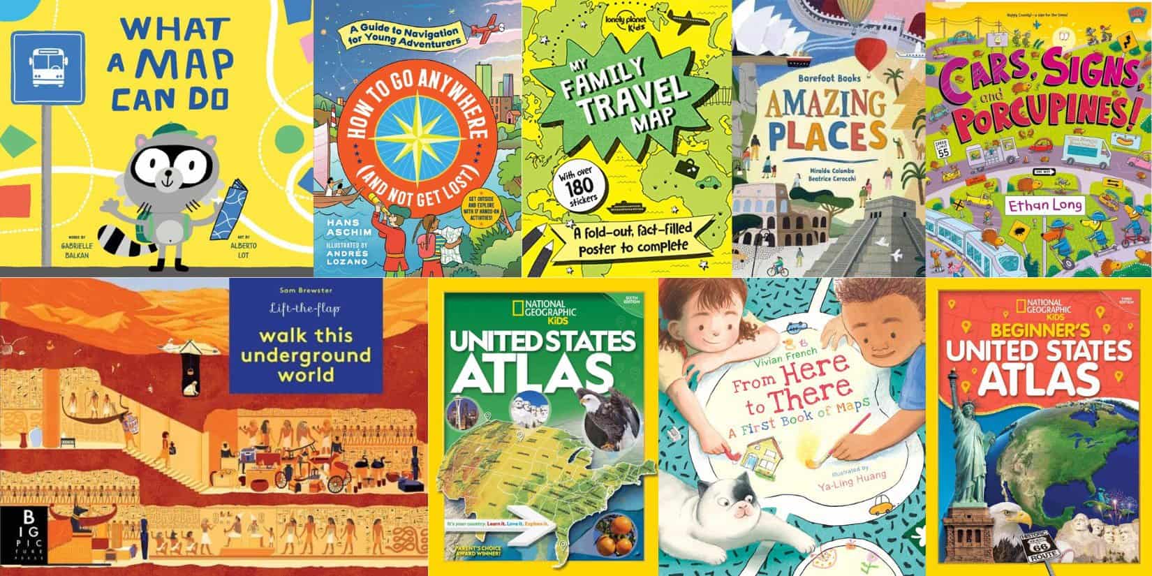
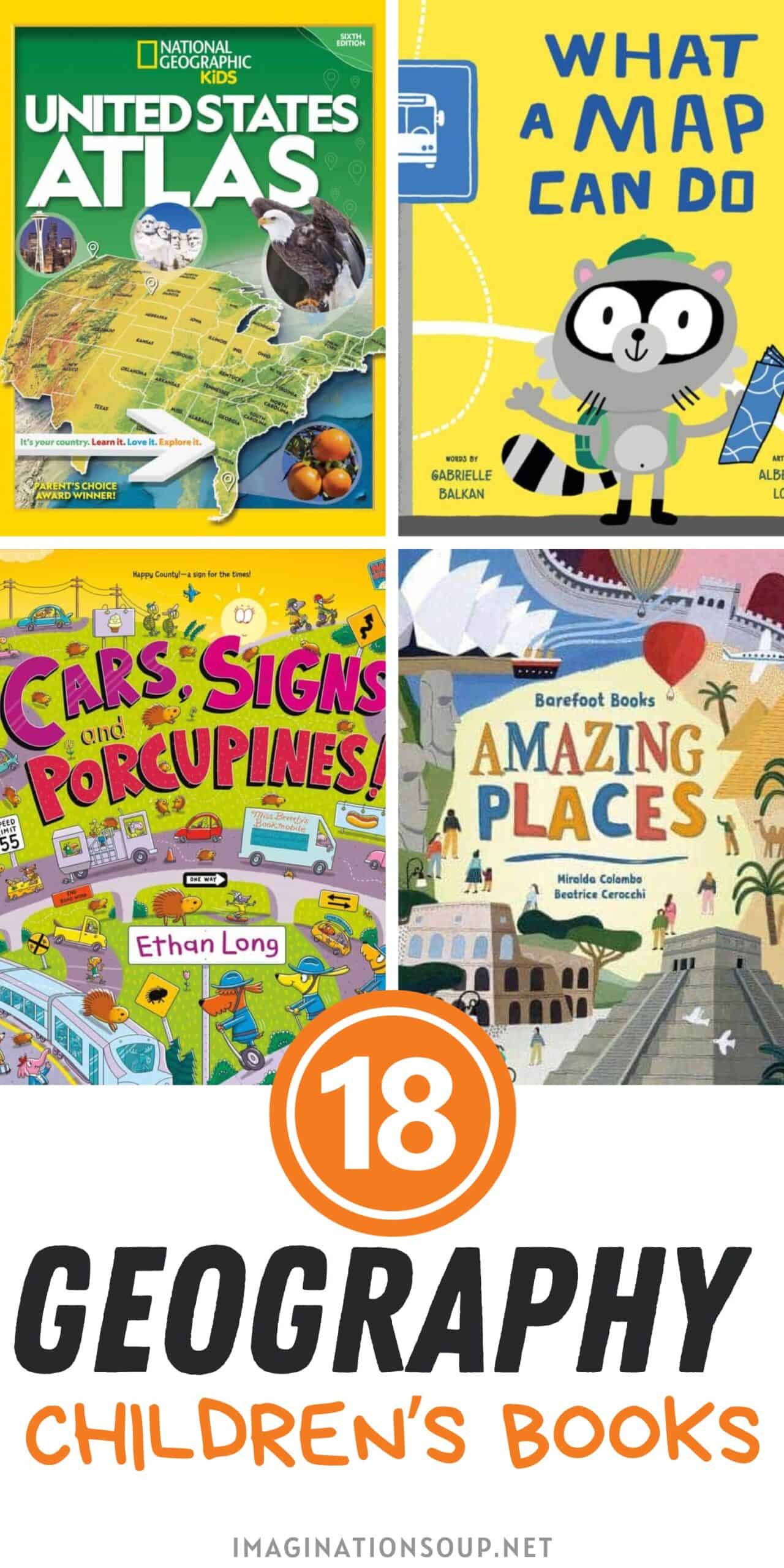
Cars, Signs, and Porcupines! by Ethan Long
Travel along through Happy County as the County Mounties try to catch the mischievous porcupines. Each page brings new adventures and information about maps, geography, counting, transportation, and measurements. Entertaining and playful.
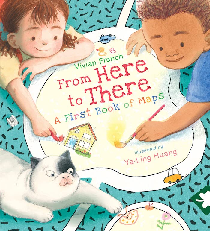
From Here to There: A First Book of Maps by Vivian French, illustrated by Ya-Ling Huang
Zane sends his friend Anna an invitation to his house and a map showing where it is. Anna draws her own map…and uses a lot of paper. Dad explains about a different kind of map as the bird flies. The two work on different kinds of maps, including a map from the cat’s perspective and a family tree map. Backmatter and sidebars share factual information and ideas for drawing your own maps. Educational while being relatable and engaging.
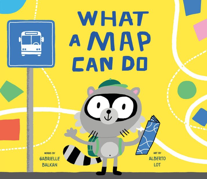 What a Map Can Do by Gabrielle Balkan, illustrated by Alberto Lot
A raccoon shows us all about maps, starting with a map of his room and then the house. He explains how maps show us where to go and asks a lot of questions. See a city map, a museum map, a body map, a road map, a national forest map, a trail map, and even a weather map. Each map includes a key and explanation. Use this geography book to make your own maps.
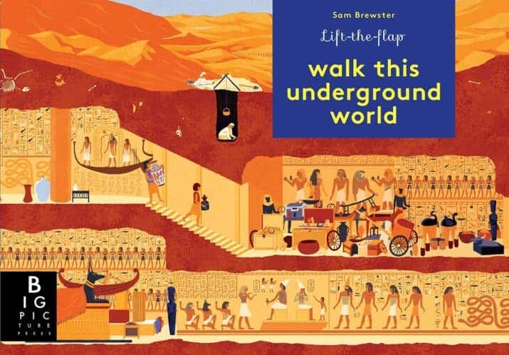
Walk This Underground World by Sam Brewster
Take a walk in different parts of the world, starting with a busy Canadian city and continuing to Egypt and Poland’s salt-rock mines. With over 80 flaps, you’ll lift flaps to see what’s under the ground and read more about it. Under the Flaming Cliffs, for example, discover the dinosaur fossils that paleontologists carefully dig out. Kids will spend hours pouring over this little book. Seemingly random, I like that the back map ties it all together by plotting each location.
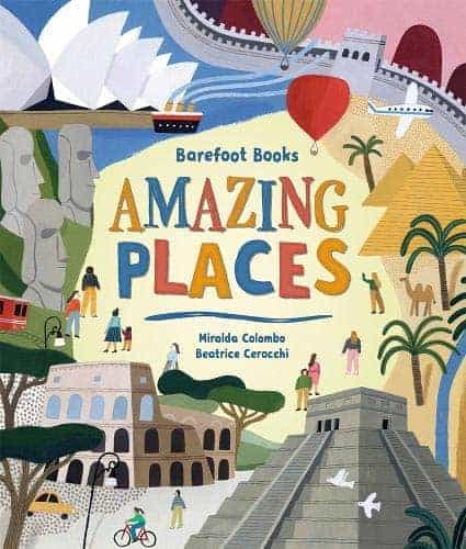
Barefoot Books Amazing Places by Miralda Colombo, Beatrice Cerocchi
Discover 15 impressive places in the world. Each place gets four pages. The first two-page spread introduces the landmark. The next 2-page spread gives you facts and information about the landmark. If your kids want to learn more about the world, they’ll love this geography resource.
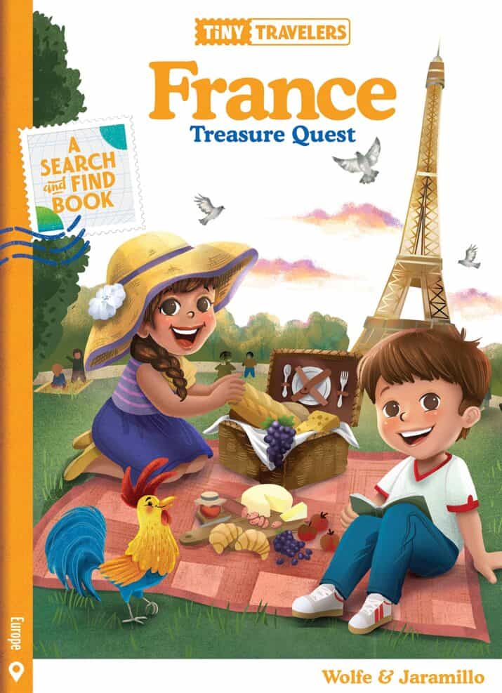
Tiny Travelers France Treasure Quest by Steven Wolfe Pereira and Susie Jaramillo
Welcome to France. Learn all about Paris, French food, festivals, famous places, activities, animals, and more. After you read each two-page spread’s information, search for the hidden treasures and read the “Did you know” facts. You might learn that The Louvre is home to the Mona Lisa and get to search for the Louvre Pyramids. Fun!
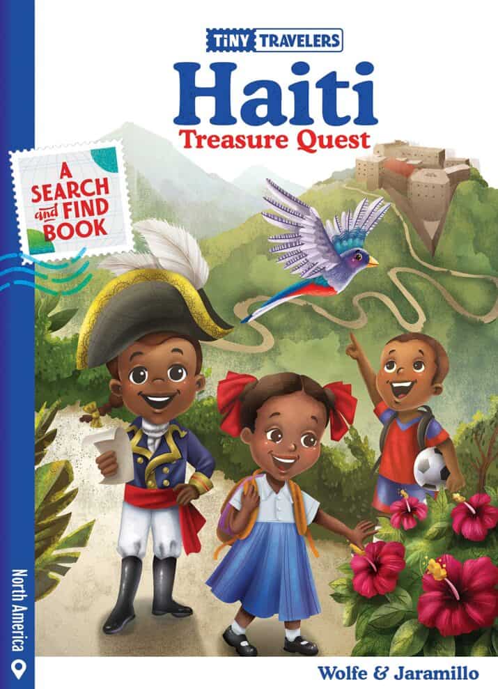
Tiny Travelers Haiti Treasure Quest by Steven Wolfe Pereira and Susie Jaramillo
Not meant for babies even though it’s a board book, this is a sturdy board book introduces preschool children to the country of Haiti’s culture, language, food, and more. Read about Port-au-Prince and find the Neg Mawon statue. Learn about Independence Day and Soup Jaoumou — see if you can find the soup on the page, too. Each page gives children information about Haiti and a colorful illustration they can use to find the hidden treasures.
Primary Geography Books, Ages 6 – 9
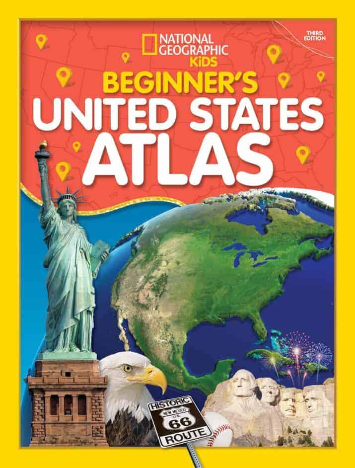
Beginners United States Atlas National Geographic Kids (2020)
One of the must-own GEOGRAPHY BOOKS! This is a gorgeous, easy-to-use oversized atlas perfect for ages 4 to 12. Each state gets a two-page spread with a large map, a small map showing full-color photographs, the state’s location in the U.S., important facts, land and water features, and history about the state. Organized by region, the text is simple and readable, perfect for primary grades like 1st, 2nd, and 3rd grades.
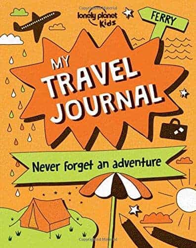
My Travel Journal by Lonely Planet Kids
This travel journal is filled with writing, drawing, coloring, and collaging ideas that will capture a trip’s memories.
Middle Grade Geography Books for Ages 9 – 12
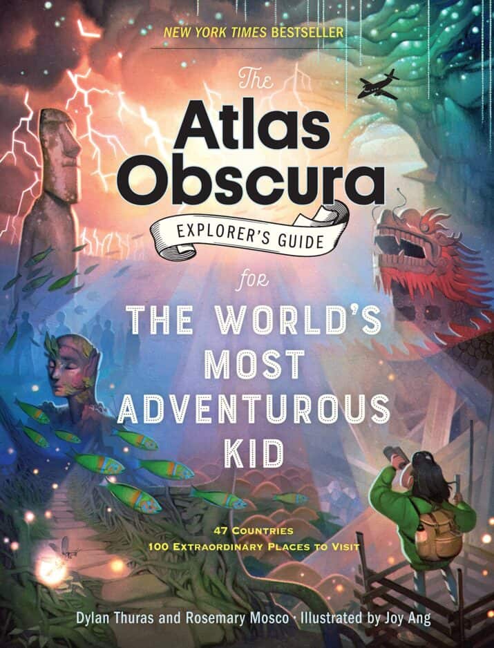
Atlas Obscura Explorer’s Guide for The World’s Most Adventurous Kid by Dylan Thuras and Rosemary Mosco, illustrated by Joy Ang
Beautifully illustrated and written, this guide is filled with interesting and unique spots all over the world. Some are things “Hidden in Plain Sight” like the Eiffel Tower Apartment in France or the Dinosaur of Ta Prohm in Cambodia or “DIY Transportation” like the Homemade Zip Lines in Columbia. Explore weird weather, sweet and salty treats, catacombs, caves, and more — this will be one book that your adventurous kids will enjoy reading cover to cover multiple times.
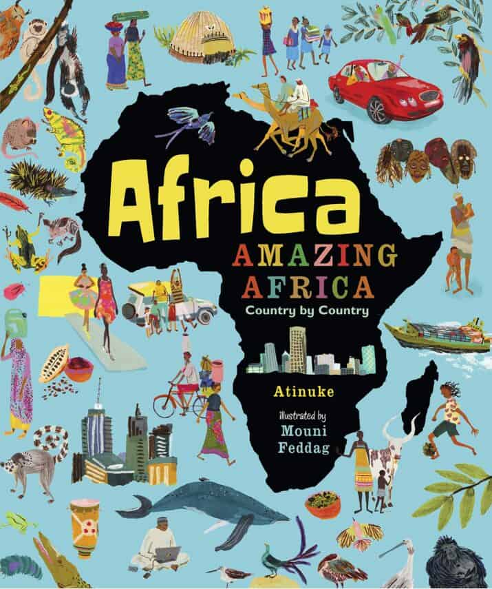
Africa, Amazing Africa Country by Country by Atinuke, illustrated by Mouni Dddag
Filled with colorful illustrations and interesting information, this is an essential guide to the geography, culture, and language of Africa. Atinuke highlights the important things for each country then gives some footnotes for more context. It’s one of the geography books that belong on classroom and school library shelves; kids will pour over the pages of digestible information and appealing illustrations.
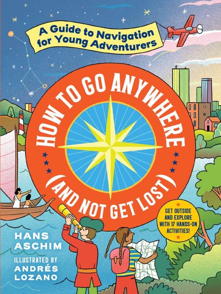
How to Go Anywhere (And Not Get Lost): A Guide to Navigation for Young Adventurers by Hans Aschim, illustrated by Andres Lozano
Engaging informational writing guides readers through the history of navigation to the development of more precision, new technology, and better maps. Illustrated activities throughout the book will help readers apply their new knowledge. for example, “Make Your Own Stick Chart” helps you make an ancient system of mapping the ocean, and “Visualizing Declination” shows you the difference magnetic declination can make. Use this all year long in your homeschool or science classroom or throughout the summer as you spend time in nature.
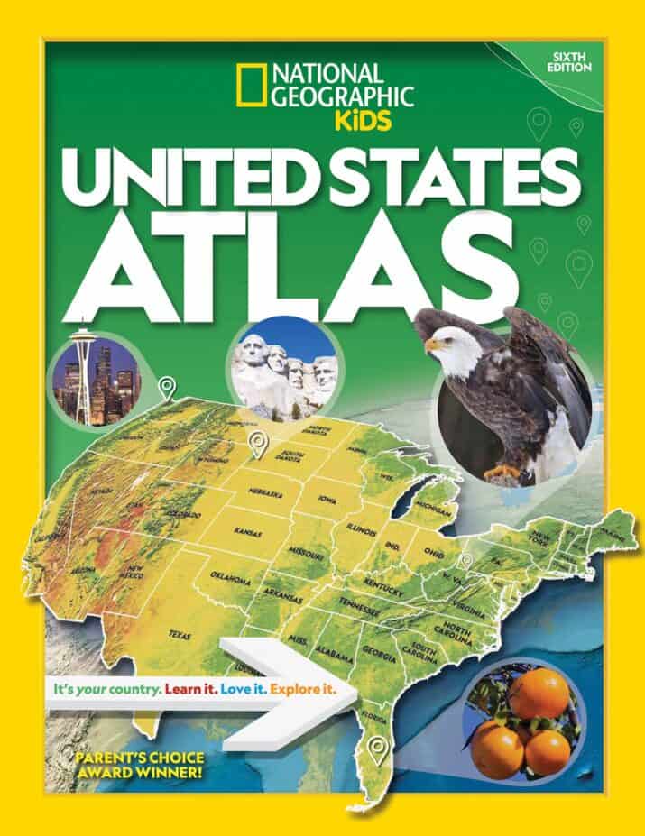
United States Atlas National Geographic Kids
Here’s an atlas that will be your go-to resource for many years. It’s actually hard to summarize how much information is packed into this appealing atlas — it’s a lot with plenty of information on each state in addition to the maps — flags, stats, facts, photos, land and water, nature, population, economy, and much more. I really like that the atlas shows the entire United States map with different focuses such as climate, natural hazards, population, and more. You will not need any other atlas but this one — it’s perfect for school and home.
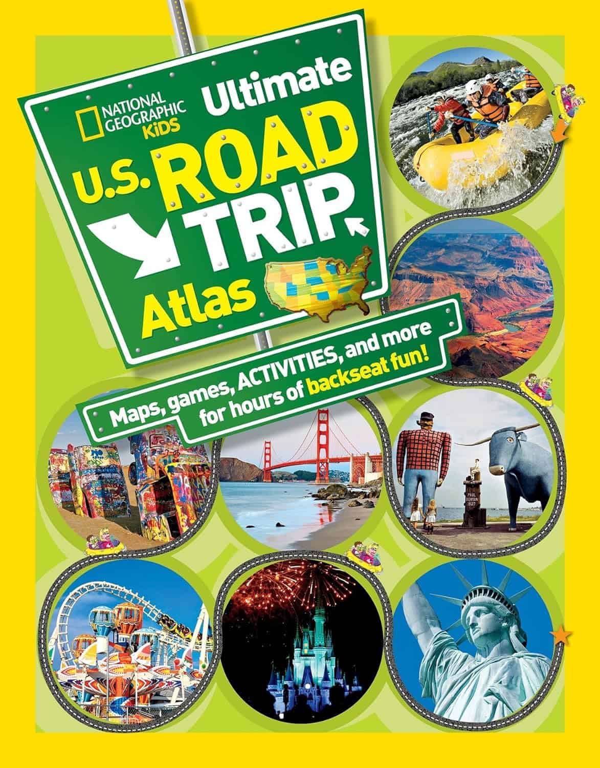
National Geographic Kids Ultimate U.S. Road Trip Atlas
Another great, eye-catching atlas from the beloved National Geographic! Each state includes a map, slogan, roadside attractions and lots of impressive attractions and facts. This could inspire your family’s next road trip and teach your kids about geography.
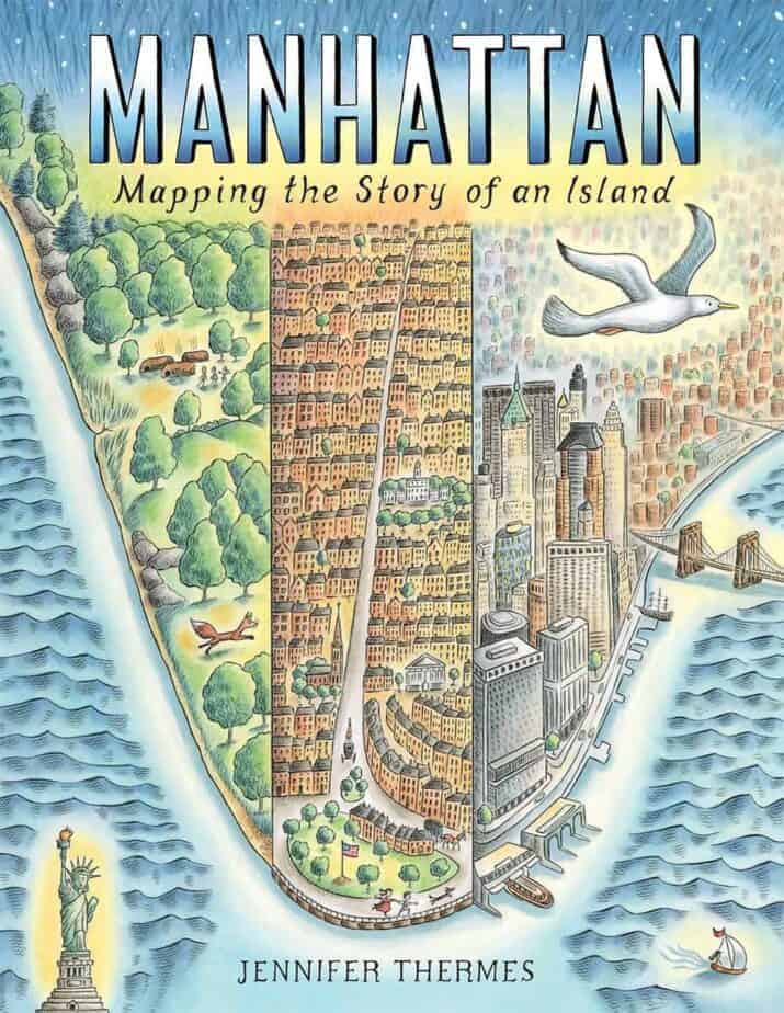
Manhattan: Mapping the Story of an Island by Jennifer Therme
Read about history of the island of Manhattan, starting with the Lenape people and continuing to the present day with subways and bridges and 1.6 million people. This book is packed with information about the city including the ecosystem, fires, and slavery. Gorgeous illustrations and readable informative writing, this oversized picture book will interest all readers, especially those who like American history or live in the New York area. Highly recommended.
National Geographic Kids Get Outside Guide: All Things Adventure, Exploration, and Fun!
Fun activities for kids to do in the backyard, on a road trip, in a park, and more. Filled with amazing photography and designed in a kid-friendly, colorful layout, this book is awesome. We LOVE it!
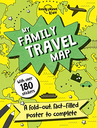
My Family Travel Map by Lonely Planet Kids
This is a HUGE map poster for travel planning and recording. Then, use the 180 stickers to mark where you live, where you’ve been, where you’d like to go, and more. Flip the map over and learn facts about every country.
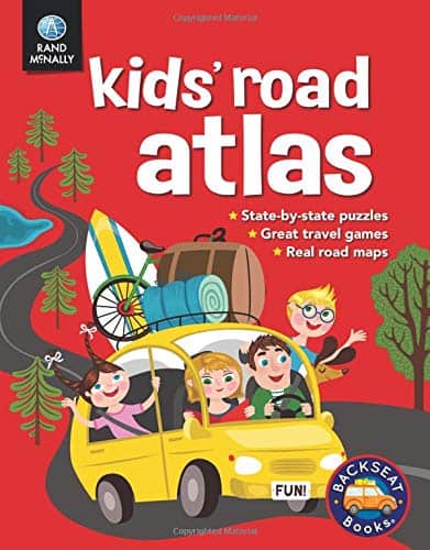
Kids’ Road Atlas by Rand McNally
Of all the kid atlases, I like this one the best. It has real road maps, so kids actually learn and practice how to use them. (Many of the other atlases don’t.) This is a great choice for cross-country travel in the U.S. so that you can see the map keys, play state games and puzzles, learn more about states, and more. (Use with your AAA maps and books!?) What other books would you add to this list?
KEEP READING:
Best Geography and History YouTube Channels for Kids
U.S. Geography Games and Puzzles for Kids
